
Continents Coloring Pages | World Map Geography Activity for Social Studies
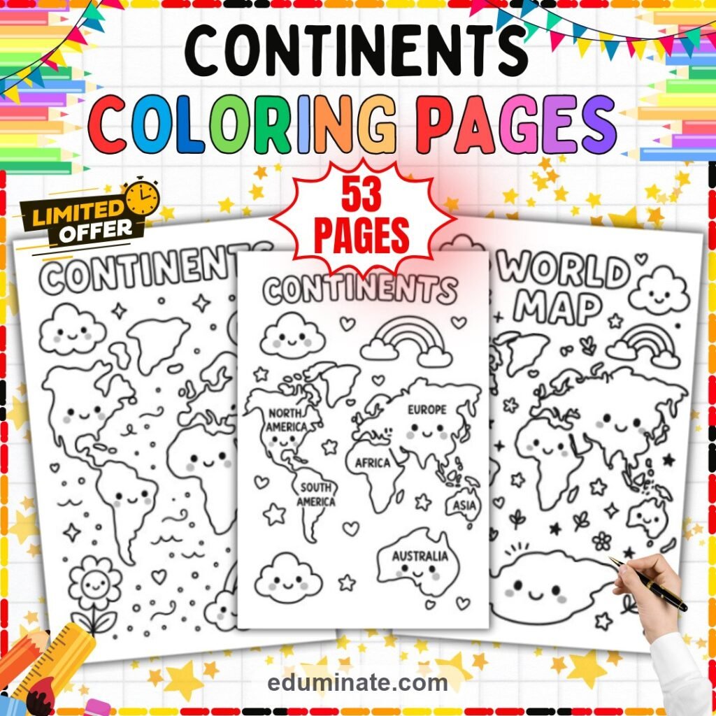
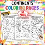
A set of 53 pages featuring the seven continents with cute kawaii faces. Includes labeled and unlabeled world maps for easy geography practice.
- PDF Continents Coloring Pages Fun Geography Activity for Kids 53 pages
- Total number of pages
- 53
Continents coloring pages for early geography lessons
This set of continents coloring pages gives you 53 pages of printable maps designed specifically for young learners. Introducing the world map to early elementary students can feel overwhelming, but these coloring sheets make geography approachable and fun. Each page features the seven continents drawn in a friendly kawaii art style, turning a standard social studies lesson into a relaxing, creative activity.
The cute cartoon faces on North America, South America, Europe, Africa, Asia, Australia, and Antarctica help students connect with the material. Young children are naturally drawn to characters with friendly expressions. By using these continents coloring pages, you capture their attention and keep them engaged with the map much longer than a traditional geography worksheet would.
What is inside this geography coloring activity
Every page in this set features a full world map, but the designs and layouts vary to keep the activity fresh. You will find different headings on the pages, such as “Continents,” “World Map,” or “Cute World,” all written in thick, colorable bubble letters.
- Labeled maps: Many of the continents coloring pages have clear, bold text identifying each landmass. As students color North America or Africa, they also trace or color the letters of the name, reinforcing their reading skills alongside geography.
- Unlabeled maps: Other pages feature the exact same cute continents without the text labels. These are excellent for checking comprehension or letting students write the names in themselves once they have learned them.
- Kawaii decorations: The oceans and negative spaces are filled with adorable background elements. Students can color smiling clouds, cheerful rainbows, twinkling stars, and happy flowers while they study the map.
The continents are simplified just enough for young hands to color easily without losing their recognizable geographic shapes. Antarctica is prominently featured at the bottom of the maps with its own wide smile, ensuring students learn all seven landmasses.
How visual repetition builds map skills
Learning geography requires repetition, but doing the same worksheet repeatedly is boring for students. Because this set has 49 unique designs, you can hand out a different version of the continents coloring pages every day of a geography unit. The core information remains exactly the same, but the new background characters and different headings make each page feel like a brand new activity. The continuous exposure helps students naturally memorize where each continent is located without feeling like they are doing drills.
What is included in the download
Your download includes everything you need in one simple file.
- Coloring pages: 49 unique world map designs with various kawaii themes
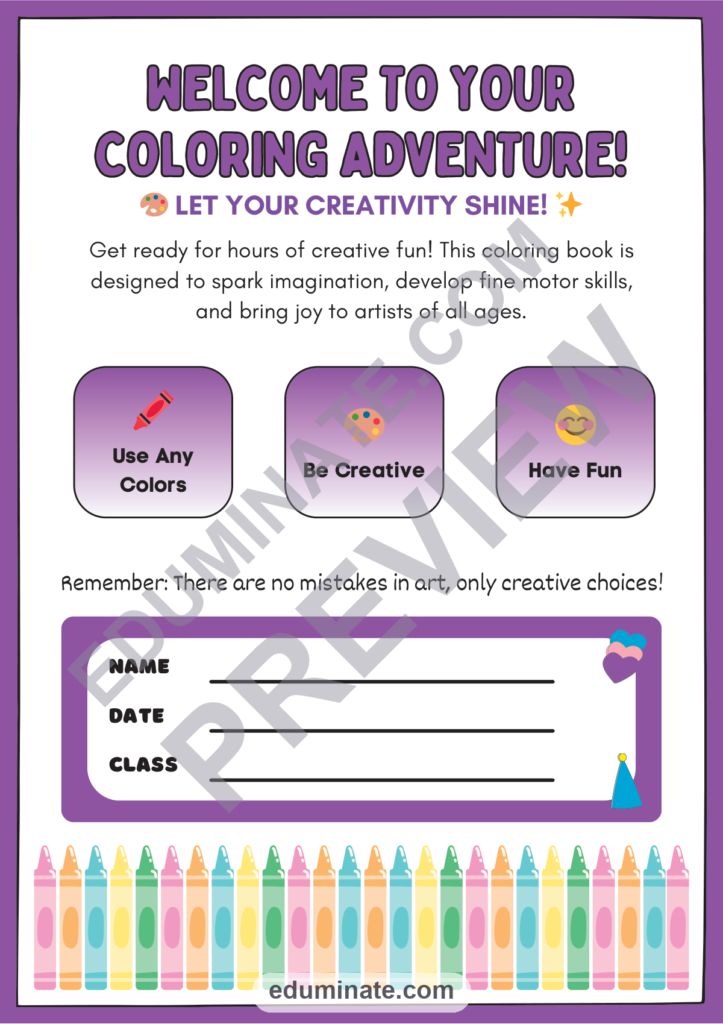
- Front matter: A name and class cover page, a coloring tips sheet, a thank you page, and the terms of use
- Total: 53 pages
The entire set comes as a single PDF file. There is no complicated software needed and absolutely no prep required – just open the file, select the pages you want, and print them out.
How to use these continents coloring pages in class or at home
These coloring sheets are highly versatile. You can use them to introduce a unit on the seven continents by having students color a labeled map as you talk about each region. The finished pages look fantastic hanging on a classroom bulletin board or lining the hallway.
Because they are completely self-explanatory, these continents coloring pages make perfect morning work. Place one on each desk before the students arrive, and they can settle in quietly with their crayons. They also work exceptionally well in a social studies center, as an early finisher activity, or as a reliable backup plan for a substitute teacher.
Parents can use these at home to supplement what children are learning in school. The black and white lines print crisply on standard printer paper. Whether students prefer crayons, markers, or colored pencils, the thick outlines of the kawaii continents will keep their coloring looking neat.
Take a look at the preview pages before you purchase to see the cute art style and the difference between the labeled and unlabeled maps.
If your students enjoy this kawaii style, you can explore the complete coloring pages section. For more resources that build foundational skills, check out our worksheets collection, or browse the shop to see everything we offer.
Frequently Asked Questions
How many pages are in this set of continents coloring pages?
The PDF has 53 pages in total. There are 49 unique map designs featuring the seven continents. The remaining four pages include a name and class cover, coloring tips, a thank you page, and the terms of use.
Are the continents labeled on these coloring sheets?
The set includes both labeled and unlabeled versions. The labeled maps help students learn the names of the seven continents, while the unlabeled maps are great for a review activity where students write the names themselves.
What age group is this geography coloring activity for?
These pages use a kawaii art style where the continents have smiling faces, making them perfect for preschool, kindergarten, and early elementary students who are just starting to learn about world geography.
Is Antarctica included on the world maps?
Yes, all seven continents are included. Antarctica is shown at the bottom of the maps, complete with its own cute kawaii face, just like North America, South America, Europe, Africa, Asia, and Australia.
| Format | Digital PDF Document (.pdf) |
|---|---|
| Pages | 53 |
| Quality | Print-ready PDF |
| License | Single Classroom / Personal Homeschool License |